Réseau PIPDR
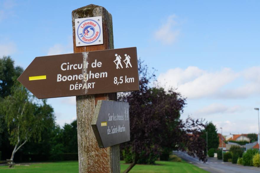
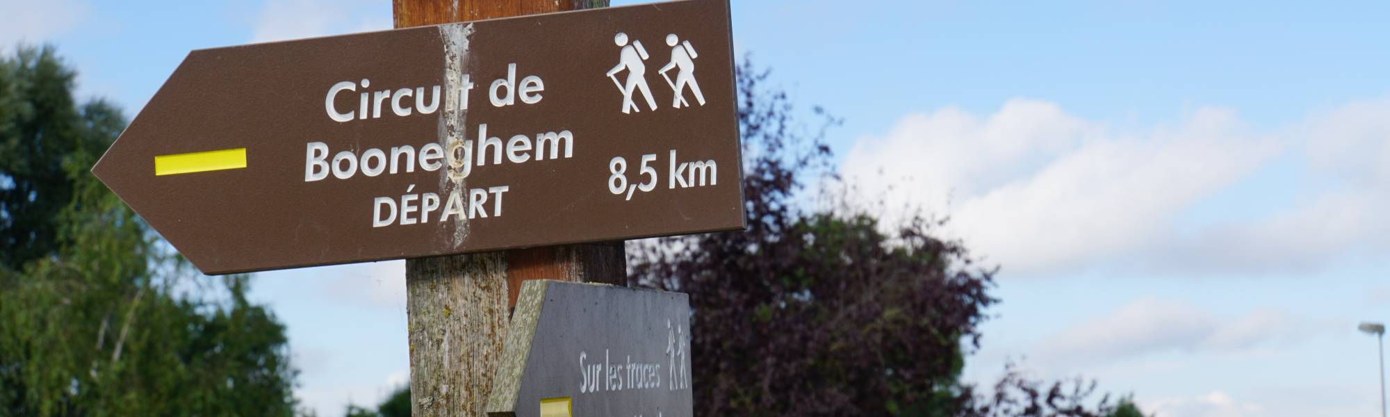
The Department map for hikes (PDIPR), is :
* 6 000 km of trails in Northern France including: - 340 Walking Trail - 38 equestrian circuits - 430 km of cross-border hiking networks - 90 km of greenways in departmental properties
For nearly 20 years, the Department invites you, with its itineraries and walks, to discover the North differently. Varied landscapes, a rural or urban heritage sometimes unknown, legends and traditions ... the territory has many riches.
Descriptive sheets, Hiking guides and interpretation panels will bring you a lot of information on the "curiosities" encountered along the way. And to combine the pleasure of hiking and conviviality, the estaminets and cafes-rando promise you both warm encounters and good local cuisine. Thanks to the markers and the walking nodes network you will be able to elaborate your own itinerary.
Maps are available for sale in our Tourist Information Offices :
• Mount Flanders
• Pays du Houblon “Hop country”
• Yser Valley
• The Pays de Cassel
• ...