Around the Polders
 Polder Itinerary - Discovering water management in Flanders Maritime
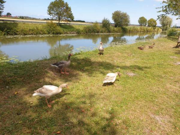
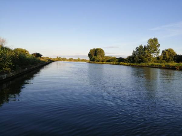
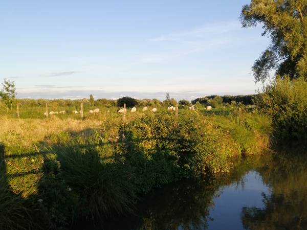
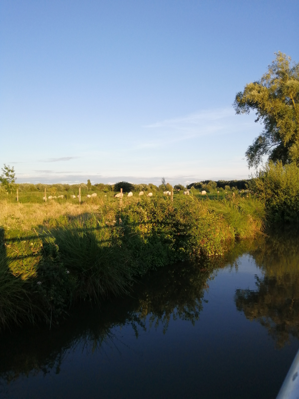
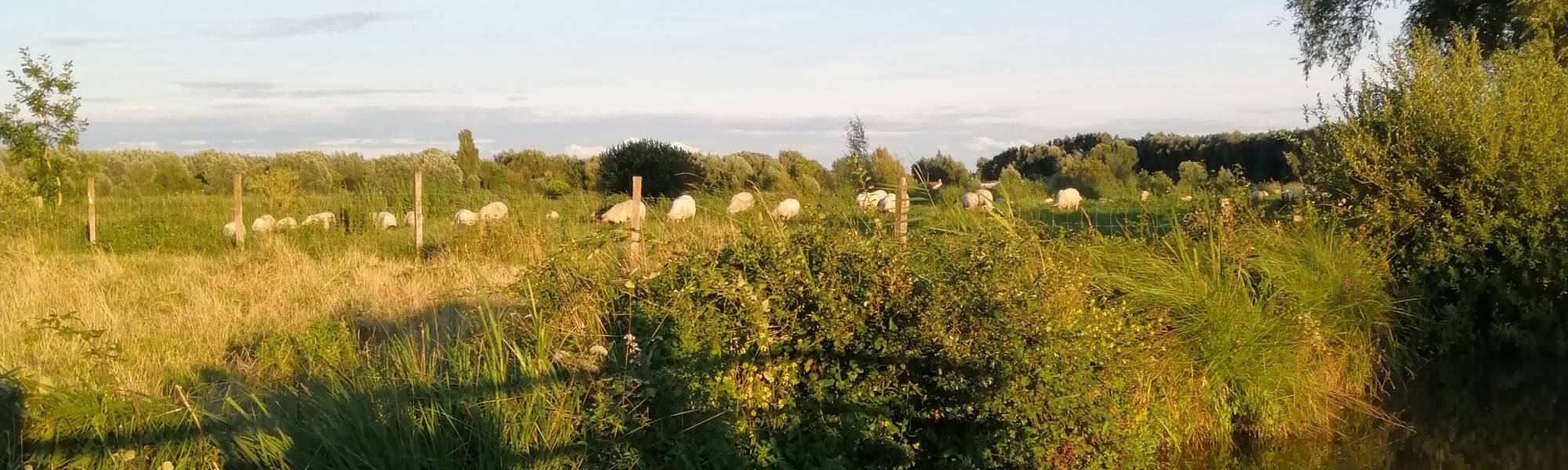
Bodies of water reclaimed from the sea, the Polders extend in Maritime Flanders over approximately 100,000 hectares. A fertile and dynamic territory, maritime Flanders has been able to develop despite the constraints linked to its environment.
In order to help us understand how water is managed and avoid flooding in maritime Flanders, the AGUR has developed as part of the project "Polder itinerary | Discovering water management in maritime Flanders" 6 circuits walks of 3 to 7 km.
These itineraries to be practiced independently are punctuated by interpretation panels, thematic panels but also QR code terminals which provide access to videos, interviews and digital content.
3 circuits are to be discovered in Hauts de Flandre, the other 3 are located around Dunkirk.
Discover and download the courses by clicking on the links below:
- Loop 1 LES COTEAUX DE SOCX - 6 km - departure: Place de Socx
- Loop 2 LES PIEDS DE COTEAUX - 7 km - departure: train station of Bergues
- Loop 3 PATRIMOINE DES WATERINGUES - 3.5 km - departure: train station of Bergues
- Loop 4 LA PLAINE WATERINGUÉE - 4.5 km - departure: Allée du relais des forts in Teteghem/Coudekerque-Village

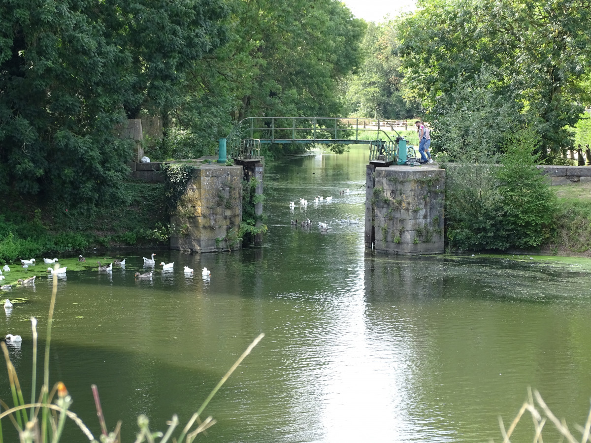
- Loop 5 LES CANAUX URBAINS - 3.5 km - departure: Site des 4 Ecluses in Dunkirk
- Loop 6 MER & LITTORAL - 7 km - departure: site des 4 Ecluses in Dunkirk